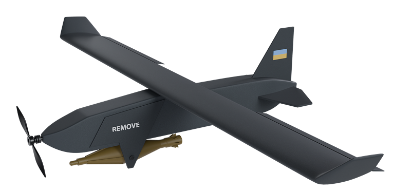
Advantages of Using DJI Mavic 3T for Reconnaissance
The effectiveness of reconnaissance operations depends on how accurate and reliable the equipment used is. Speed also plays an important role. On the website, you can choose a quadcopter by reviewing its description and checking the price. Among the wide range of UAVs, the DJI Mavic 3T is particularly popular.
One of the key advantages of the DJI Mavic 3T is its thermal camera. It allows detection of objects based on temperature contrasts even in poor visibility and at night.
Technical Specifications of DJI Mavic 3T
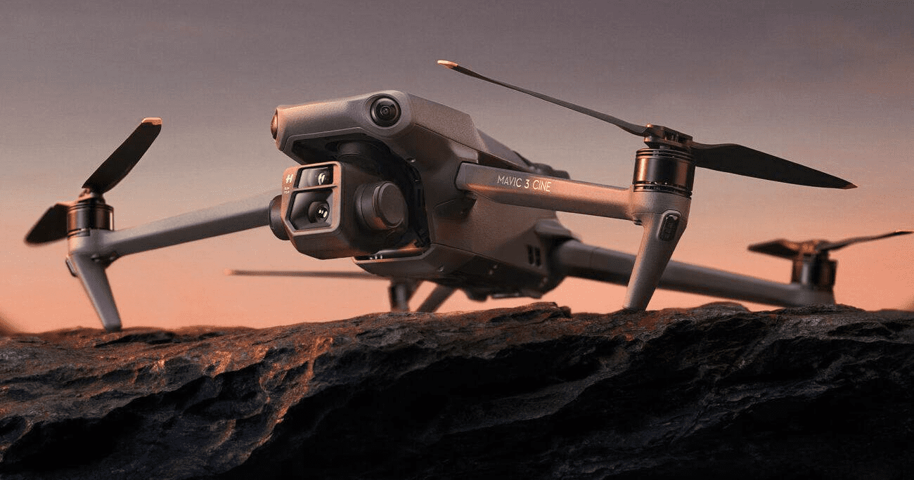
Modern drones open up wide possibilities for monitoring, reconnaissance, and aerial photography. DJI Mavic 3T deserves special attention as a universal tool for professional tasks where precision and efficiency are crucial. It successfully combines advanced sensors, high autonomy, and convenient control. Below are the main technical specifications:
- Three-camera system: main camera, telecamera with 162 mm focal length and hybrid zoom up to 56×, plus thermal camera;
- Supports video recording in 5.1K and 4K formats;
- Photo shooting in JPEG and RAW formats.
Maximum flight speed – up to 75.6 km/h. Video transmission range – up to 15 km. Flight time – up to 45 minutes. Equipment includes an omnidirectional obstacle avoidance system, GPS/GLONASS/Galileo, autopilot, and stabilization. A universal tool that quickly and professionally handles various tasks – reconnaissance, monitoring of objects. DJI Mavic 3T successfully combines advanced technology, reliability, and ease of use, ensuring high accuracy and efficiency of work and delivering high-quality data and operational performance in field conditions.
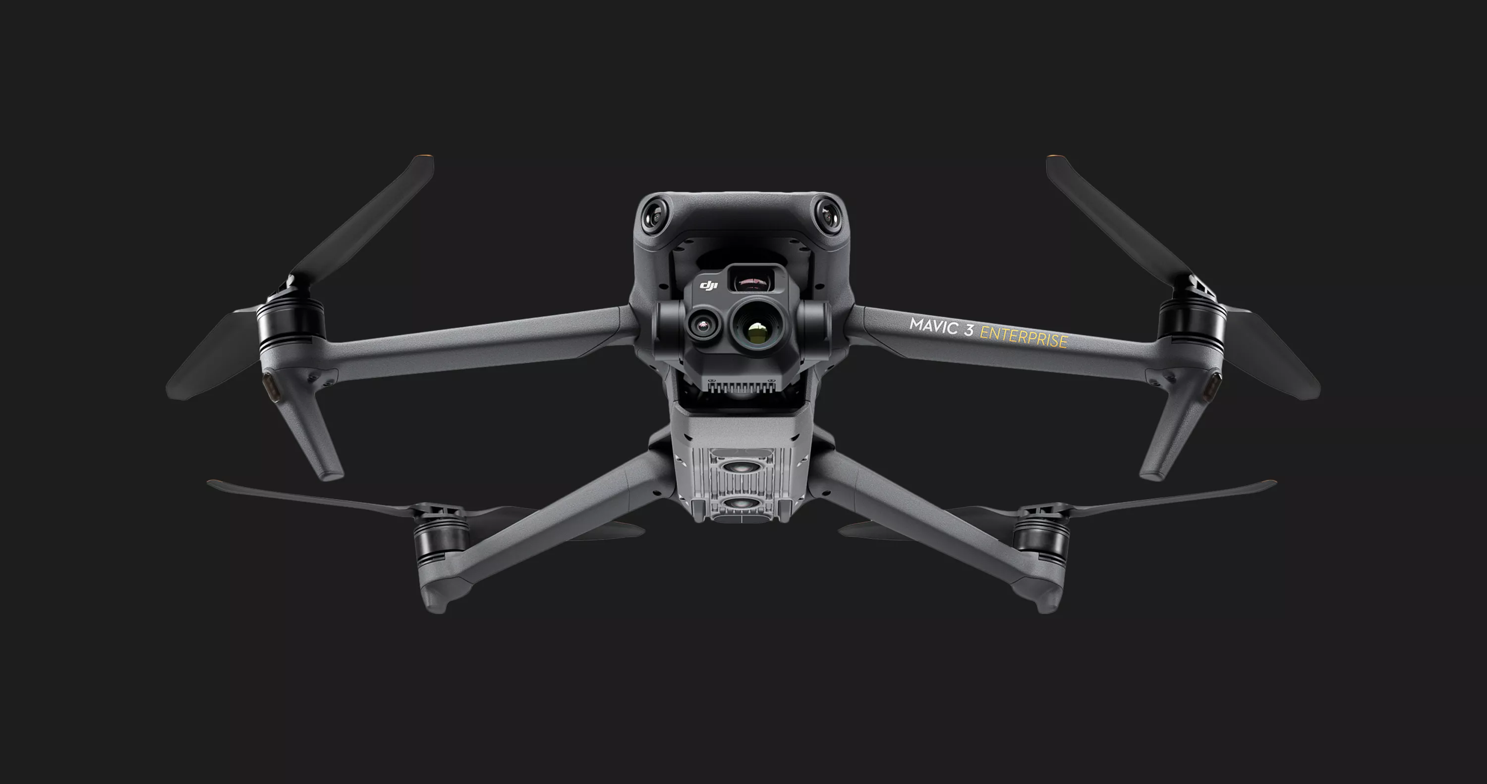
Thermal and Optical Camera – Observation Capabilities
Modern models open up wide possibilities for observation and territory monitoring. You can obtain a complete picture of events in any weather and at any time of day using DJI Mavic 3T quadcopters. This is possible thanks to the combination of thermal and optical cameras in the quadcopter design. The thermal camera captures heat radiation from objects, enabling detection, while the optical camera provides high-resolution photos and videos for detailed visual observation.
Flight Range and Navigation
An important element of surveillance and situational assessment systems are military UAVs, whose main tasks are reconnaissance, information gathering, and increasing awareness without risk to personnel. Key parameters include the presence of a thermal camera and long flight range. Precise navigation is equally important, as all these components determine the effectiveness of UAV systems in complex conditions. They open wide possibilities for territory monitoring and observation of objects at long distances.
Reconnaissance drones help with this, with flight ranges reaching tens of kilometers under stable connection with the control unit. Many models are equipped with route planning modes, object tracking, and position holding, allowing operators to focus on data analysis.
Thanks to the combination of long flight range and precise navigation, drones become effective tools for reconnaissance and patrolling. Reliable communication and advanced navigation systems make reconnaissance drones safe and highly efficient tools for professional tasks.
Practical Use Cases of DJI Mavic 3T in Reconnaissance
Thanks to modern UAV technologies, the possibilities for observation and information gathering are significantly expanded. An important reconnaissance tool in warfare is the use of drones – an effective monitoring means that increases awareness of the current situation. One common case is aerial observation of territory. Large areas can be quickly surveyed, movements of objects detected, and potentially dangerous zones identified.
They also support search-and-rescue and humanitarian operations. Such devices are used to locate people, assess infrastructure conditions, and determine safe routes.
The primary purpose of military drones is reconnaissance and information gathering, which increase situational awareness. In combat conditions, military drones are effective tools for remotely obtaining data and minimizing direct threats to personnel. Key advantages include the ability to conduct observation from a distance without being in a dangerous zone. Drones can quickly provide visual and thermal data, assess the situation in real time, and track changes in terrain. At the same time, there are limitations: weather conditions, flight time, and vulnerability to technical failures of equipment.Advantages and Limitations in Combat Conditions